
Addition: Ancestry added a cool new tool - 1950 Census district finder at https://www.ancestry.com/discoveryui-content/district-map/62308. It overlays the old ED map over a current map.
When you think about enumerators visiting most households in person, it is amazing and wonderful that they achieved 99% coverage. (1)
On April 1, 2022, they 1950 Census enumeration sheets become available by NARA and shared through the major genealogy sites like FamilySearch and Ancestry. .
“Several procedures were used to improve the accuracy and completeness of the 1950 census, including: improved enumerator training, providing enumerators with detailed street maps of their assigned areas, publishing “Missed Person” forms in local newspapers, and setting a specific night to conduct a special enumeration of persons in hotels, tourist courts, and other places frequented by transients.” (2)
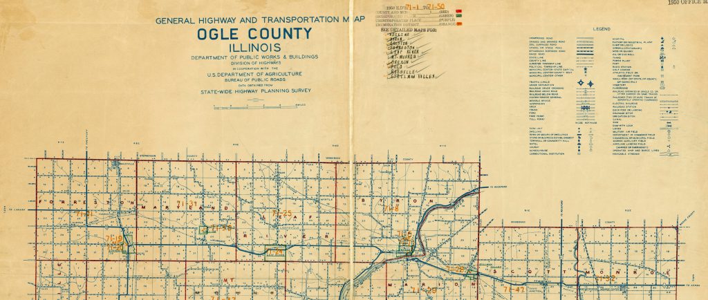
You can use the maps available through the National Archives to explore an enumeration district. Search for city or county name in the catalog AND 1950. Refine search results by selecting Record Group 29.
For other tips to see Find Family in the 1950 Census. (3)
Sources
(1) “Decennial Census Official Publications: 1950, United States Census Bureau (https://www.census.gov/programs-surveys/decennial-census/decade/decennial-publications.1950.html : accessed 24 March 2022)
(2) “1950 Overview,” United States Census Bureau (https://www.census.gov/history/www/through_the_decades/overview/1950.html : accessed 24 March 2022).
(3) “Find Family in the 1950 Census,” blog post, 5 February 2022, Hayska (https://hayska.org/find-family-in-the-1950-census/ : accessed 25 March 2022)
#1950CensusCountdown #genealogy #FamilyHistory
[Header Image: “Online Promo Image 1: 1950 Census Light BG – 1200 x 628, JPG, 1950 United States Census Shareable Resources, FamilySearch (https://www.familysearch.org/en/info/1950-united-states-census-sharable-resources : accessed 25 March 2022).
[Map Image: “1950 Census Enumeration District Maps – Illinois (IL) – Ogle County – Ogle County – ED 71-1 to 50,” digital image, National Archives Catalog (https://catalog.archives.gov/id/12013647 : 25 March 2022); See Record Group 29: Records of the Bureau of the Census, 1790 – 2007, Series: Enumeration District and Related Maps, 1880 – 1990, File Unit: Enumeration District Maps – Illinois – Ogle County, Item: 1950 Census Enumeration District Maps – Illinois (IL) – Ogle County – Ogle County – ED 71-1 to 50.]